

Think. We build.
Advanced solutions for the development, integration, and evolution of ground systems for Earth Observation missions.
Development, integration, and evolution of mission-critical ground systems supporting Earth Observation and Positioning infrastructures.
Aras Systems was founded with the goal of simplifying the design of complex systems through a structured systems engineering approach.
MISSIONS
EarthCARE (Earth Cloud, Aerosol and Radiation Explorer)
A joint ESA–JAXA Earth Explorer mission, launched on 28 May 2024, designed to improve our understanding of how clouds and aerosols interact with solar and infrared radiation — one of the biggest uncertainties in climate models. It carries four instruments: an atmospheric lidar (ATLID), a cloud profiling radar (CPR, provided by JAXA), a multi-spectral imager (MSI) and a broadband radiometer (BBR), which together profile the vertical structure of clouds and aerosols and measure the resulting radiative fluxes to refine climate prediction and numerical weather forecasting.
FLEX (FLuorescence EXplorer)
ESA’s eighth Earth Explorer mission (selected in 2015, launch planned for September 2026 on a Vega-C together with Sentinel-3C), dedicated to mapping vegetation fluorescence — the faint glow emitted by plants during photosynthesis — as a direct indicator of photosynthetic activity, plant health and stress. Its FLORIS (FLuORescence Imaging Spectrometer) instrument, built by Leonardo (Italy), measures this signal at high spectral resolution in the 500–780 nm range. FLEX flies in tandem with a Sentinel-3 satellite, combining fluorescence data with Sentinel-3’s optical and thermal measurements, with applications in agriculture, food security and carbon-cycle studies.
Sentinel-3
A Copernicus mission operated by ESA and EUMETSAT, built around a constellation of satellites to ensure continuity of operational ocean and land monitoring. Its instrument suite — including the OLCI ocean-and-land colour imager, the SLSTR sea- and land-surface temperature radiometer, and a radar altimeter (SRAL) — measures sea-surface temperature and topography, ocean colour, land-surface reflectance, and the height of rivers, lakes and ice. The data support marine forecasting, climate monitoring, and land and vegetation services.

Galileo
Europe’s own global satellite navigation system (GNSS), developed by the EU with ESA and operated under civilian control by EUSPA, providing highly accurate positioning, navigation and timing services worldwide. Interoperable with GPS but independent of it, Galileo offers an open service for the general public, a high-accuracy service and a secure government service, alongside a globally recognised search-and-rescue function. It underpins applications from smartphones and transport to precision agriculture and critical-infrastructure timing.
SMOS (Soil Moisture and Ocean Salinity)
An ESA Earth Explorer mission, launched in 2009, that provides global observations of two key variables in the water cycle: soil moisture over land and salinity over the oceans. Its single payload, the MIRAS L-band interferometric radiometer, captures passive microwave emissions to derive these quantities. SMOS has far exceeded its planned lifetime and continues to support hydrology, climate research, weather and ocean-circulation studies, as well as monitoring of vegetation, sea ice and extreme events.
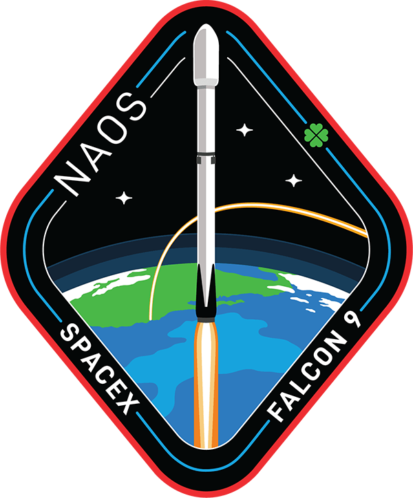
NAOS (National Advanced Optical System)
NAOS is the space component of LUXEOSys (Luxembourg Earth Observation System), Luxembourg’s governmental dual-use observation satellite system. Built by prime contractor OHB Italia for the Luxembourg Directorate of Defence, it is a very high-resolution optical reconnaissance satellite operating at around 450 km in a low polar (sun-synchronous) orbit, circling the Earth about 15 times a day and capturing more than 100 images daily. Launched on 26 August 2025 aboard a SpaceX Falcon 9 from Vandenberg Space Force Base, California, NAOS supports defence and security applications (troop-movement observation, border surveillance, treaty monitoring) as well as disaster management, climate and humanitarian uses, providing imagery to Luxembourg’s institutions and partners including the EU, NATO, the UN and the IAEA. It carries Elbit Systems’ Jupiter space camera (panchromatic, RGB and near-infrared channels) and has a planned operational life of about seven years.
SERVICES
Request a Consultation
For partnerships, technical consulting, or project support, feel free to get in touch with us.